Mike Psaris
Mapping Streams in The Pacific Northwest
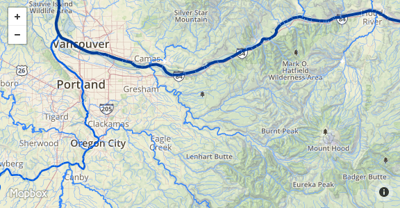
This is a repost from my old website, originally posted on 8/9/2014. I like visualizing river networks because they often explain why the topography looks the way it does. The National Hydrography Dataset is a geodatabase of all the catalogued streams in the US and includes useful stream attributes such as stream name and estimated annual flow.... Read more 01 May 2017 - 2 minute read